Current Property Intelligence
Understand Today’s Site Conditions
Environmental due diligence begins with understanding the property as it exists today. LightBox Live brings together current property information, live datasets, and dynamic map layers in one interactive workspace, helping environmental professionals quickly evaluate site conditions, understand the surrounding area, and identify features that may warrant additional investigation.
Rather than gathering information from multiple sources, users can access current property intelligence alongside environmental reports, historical resources, and mapping tools to build a more complete understanding of the project area.
Key Benefits
Current Property Context
Access current property information and live datasets that provide valuable context for environmental due diligence.
Connected Mapping Experience
View property intelligence alongside environmental reports, historical resources, and interactive analysis tools in a single workspace.
Faster Site Evaluation
Quickly identify nearby features, understand surrounding properties, and assess site conditions without switching between applications.
Continuously Expanding Data
LightBox Live continues to add new property intelligence and mapping layers to support evolving environmental workflows.
Features & Capabilities
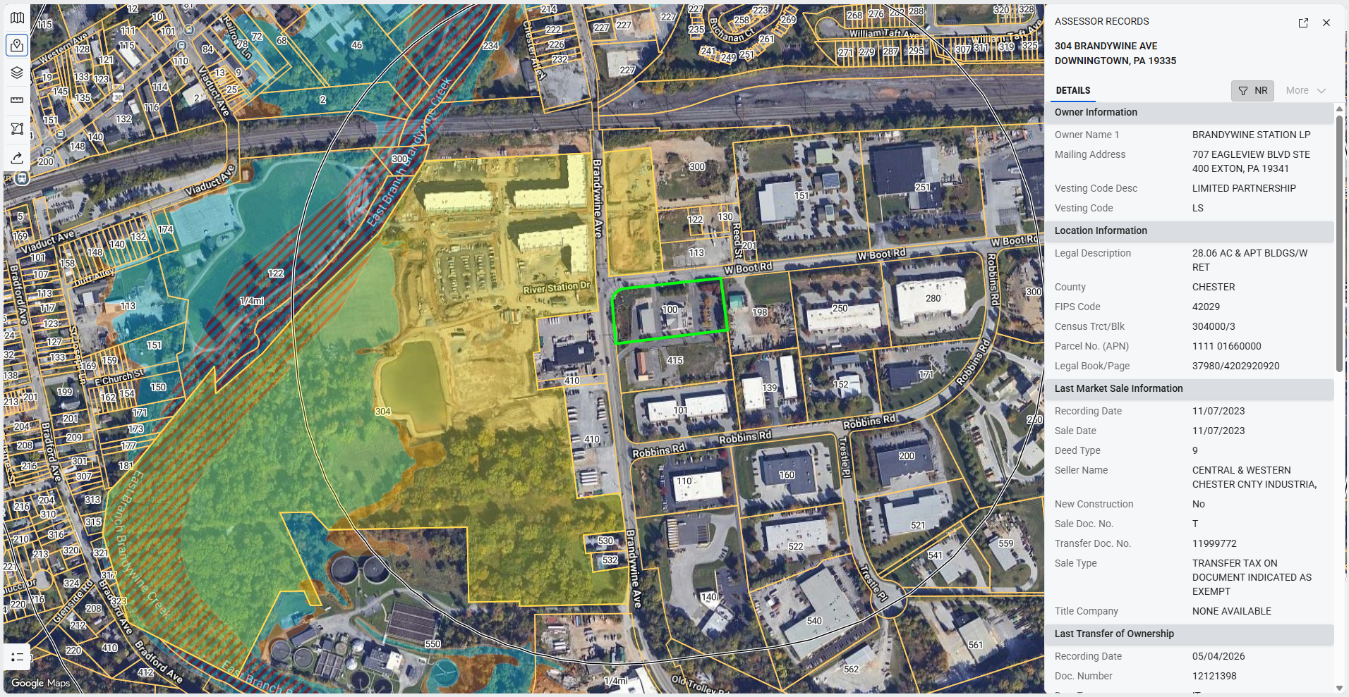
Current Property Data
Access live property information that helps build a more complete understanding of the subject property and surrounding area.
Available datasets include:
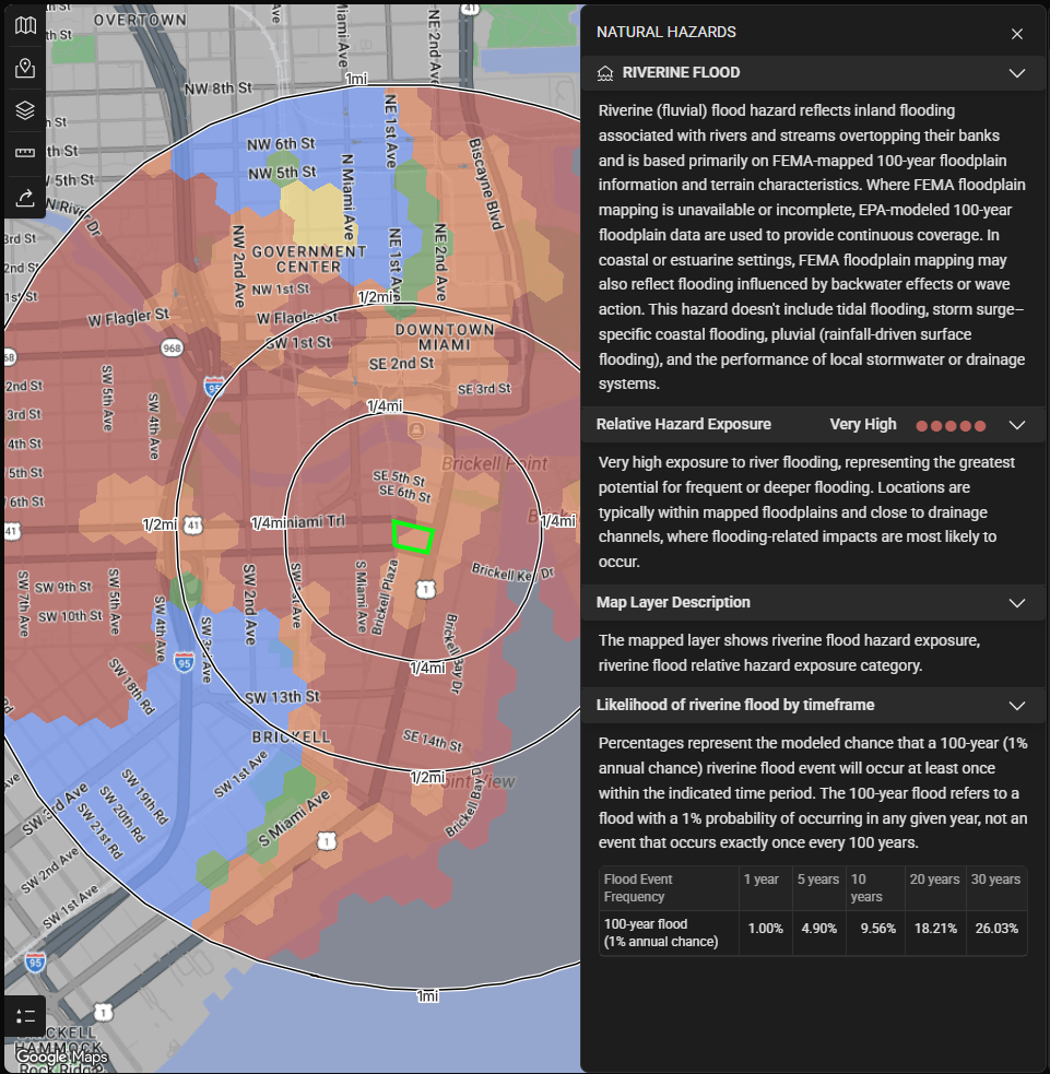
- Natural Hazard Data → Learn more
- National Fire & Emergency Incident Data
- Building Permit Records
- Assessor Records
- Tax Parcel Boundaries
- Street View, including historical imagery where available
These datasets provide additional context during environmental due diligence by helping environmental professionals better understand current site conditions, nearby development, and property characteristics.
Dynamic Map Layers
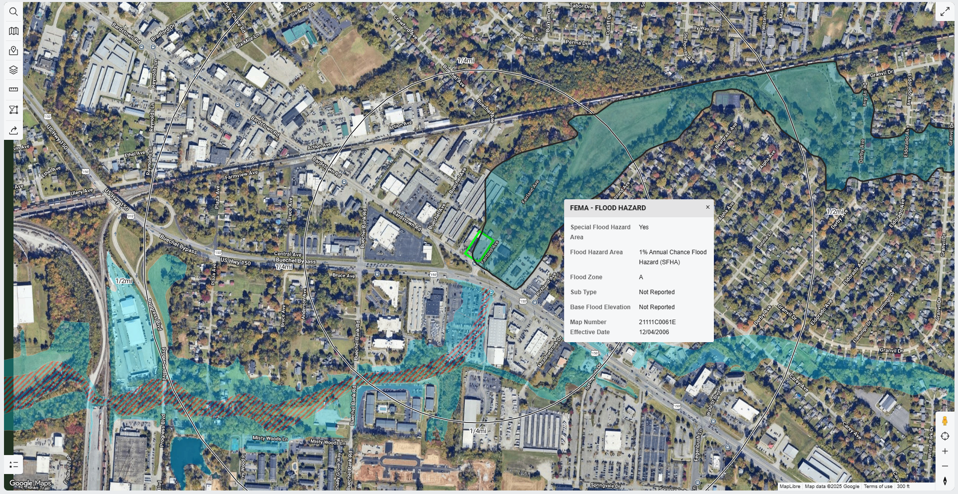
Visualize current site conditions using interactive map layers that can be displayed alongside environmental reports and historical resources.
Available layers include:
- Soils
- FEMA Flood Zones
- Current USGS Topographic Map
- Contour Lines
- Municipal Boundaries
Additional layers continue to be added as LightBox Live evolves.
Availability
Current Property Intelligence is included with LightBox Live for environmental data packages and standalone Radius Map Reports.
Some datasets and map layers are not available for Area / Corridor Projects.