Advanced clarity, faster review, more accurate reports
LightBox Live is a groundbreaking advancement
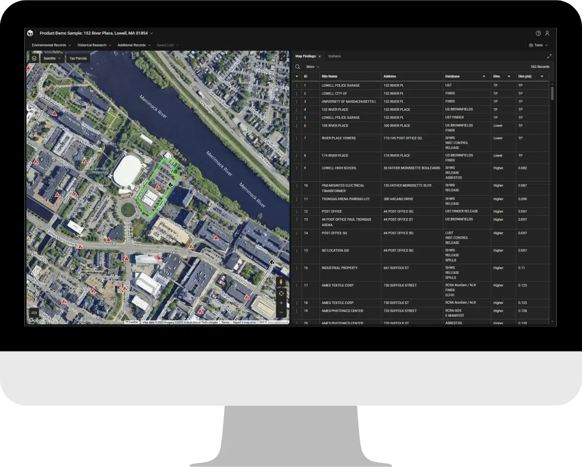
We’ve added more functionality to deliver more innovation and capabilities enabling you to analyze vapor risks, move and adjust map finding, and improve the data powering your future reports.
The most trusted data and content
Analyze your EDR® Radius Map, SANBORN MAP®s, historical aerials, topographic maps, and more in a single browser.
LightBox Live utilizes advanced tax-parcel georeferencing for fast, accurate review.
All the tools you need in one place
Historical overlays, Google Street View, measuring tool, tax parcel data and more are all accessible within the application.
EDR®’s VECApp is now included with every order, so the tools you need are ready when you need them.
Greater control over your reports
With the addition of FIELDCHECK®, you can adjust search results in your EDR® Radius Map reports quickly and easily within LightBox Live, improving report accuracy.