Environmental Due Diligence
Where Definition Meets Reality: Adjoining Properties Under E1527-21
Where Definition Meets Reality: Adjoining Properties Under E1527-21
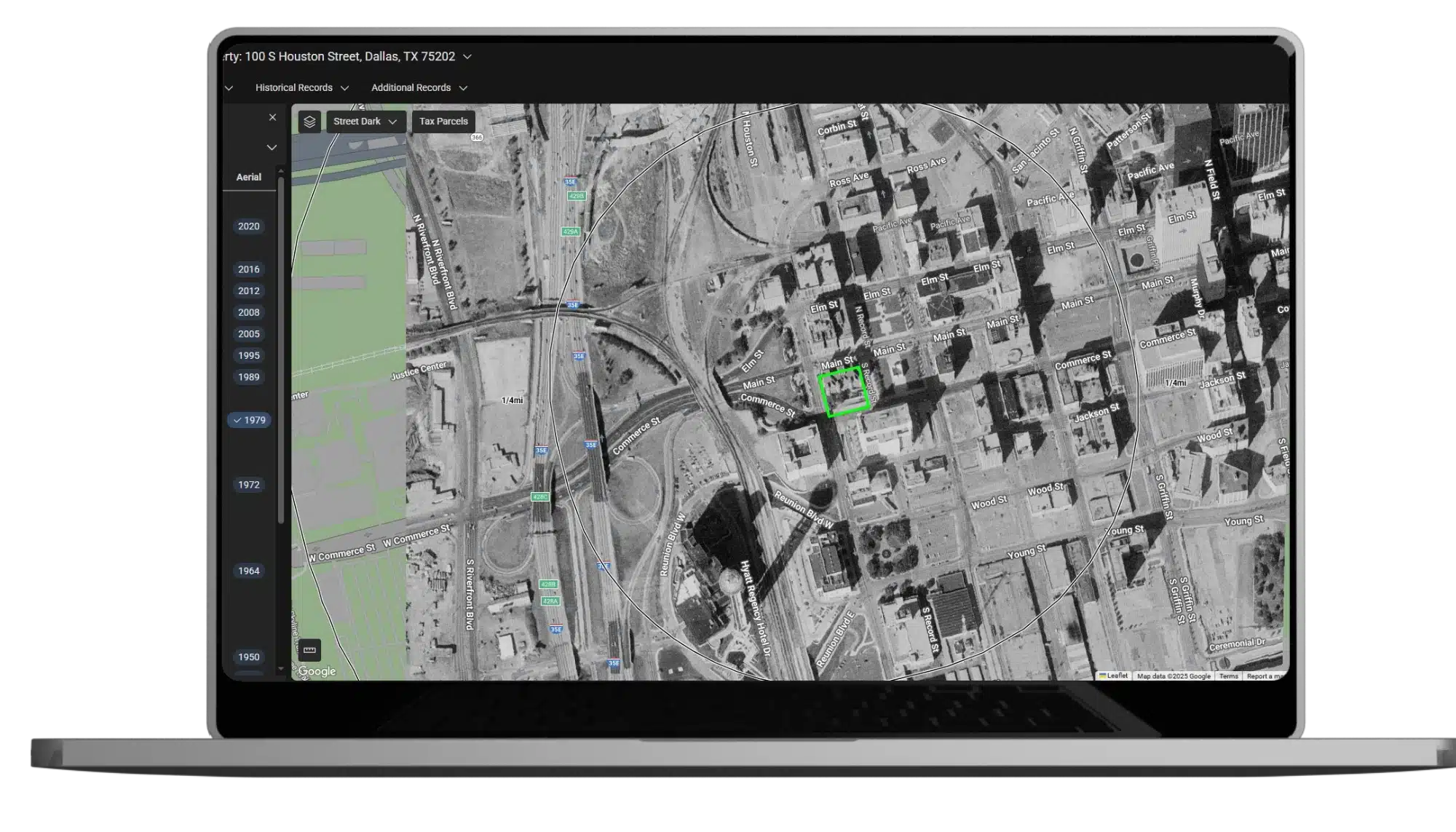
By Kathleen Lavallee, Product Manager, LightBox At the recent ASTM meetings in Dallas, I had the opportunity to sit in…