Environmental Due Diligence
SANBORN MAP® Report
Access the largest and most complete collection from the SANBORN MAP® Library. The SANBORN MAP Report is generated from the complete holdings of the SANBORN MAP Library, which dates back to 1866 and includes over 1.3 million SANBORN fire insurance maps.

Key Benefits
Access the largest collection of SANBORN MAPS
SANBORN MAPS show intricate details in buildings, properties and streets. They are one of the best sources of historical property information and are used every day by thousands of environmental consultants to conduct Phase I ESAs.
LightBox Live
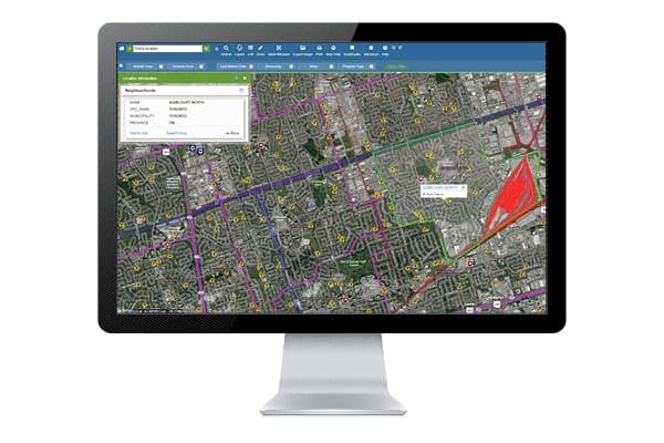
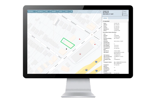
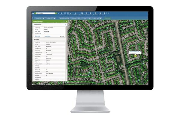
Review multiple years of SANBORN coverage with online tools that allow you to layer and switch between SANBORN MAPS, current aerial photos and Google Street View, and change the opacity of each layer to view multiple images simultaneously.
A single, seamless mosaic
Reviewing SANBORNS as part of your historical research has never been more convenient and integrated. The entire collection has been scanned into a high resolution, digital mosaic, enabling a single review experience in LightBox Live.
Validate your search with ease
Use the SANBORN certification number for documentation that shows you’ve searched the collection and are licensed to reproduce the map images in your report.
Resources
Explore the resources below for a preview of the valuable data included in a Sanborn report.
How LightBox Live has improved your SANBORN® experience
A SINGLE, seamless MOSAIC
Since the entire collection has been rescanned into a seamless digital mosaic, reviewing SANBORN MAPS as part of your historical research has never been more convenient or valuable.
With Seamless SANBORN, your target property is centered in the middle of the SANBORN image, and the image will always be oriented north-up. With this improvement, turnaround time has been reduced, and the mosaic images are easy in fun to review in our online viewer, LightBox Live.

LightBox Live

Review multiple years of SANBORN® coverage with our online tools
Our Tools allow you to layer and switch between SANBORN MAPS, current aerial photos and Google Street View, and change the opacity of each layer to view multiple images simultaneously. Historical research has never been more convenient or valuable.
Access these powerful features through LightBox Live.
Unique certification number that can be used to validate your search
The SANBORN® certification number provides documentation that you have searched the complete SANBORN® Library collection, the largest and most comprehensive collection of SANBORN MAPS.
It also documents that you are licensed to reproduce the map images in your report.
SANBORN MAPS obtained from EDR®– authorized resellers will receive the same certification benefits.
