LandVision℠ is now LightBox Vision℠ — comprehensive mapping software, analysis and management for industries including real estate and government sectors….
Learn moreEnergy
Enabling workflow with location intelligence
You need solid location intelligence to support workflows from land acquisition and site selection, to demand forecasting, planning and construction, and operational support. LightBox data and analytic solutions for the energy market gives you the relevant insights and information you need to make business-critical decisions.
Contact UsKey Benefits
Expand Customer Reach
Track house sale transactions in real-time to ensure you find new customers at the most opportune times. Track house sale transactions and builder sites in real-time to ensure you find new customers at the most opportune times. This content combined with mail merge functionality, allows you to easily send mailers to your target audience.
Find Right-of-Way Easements
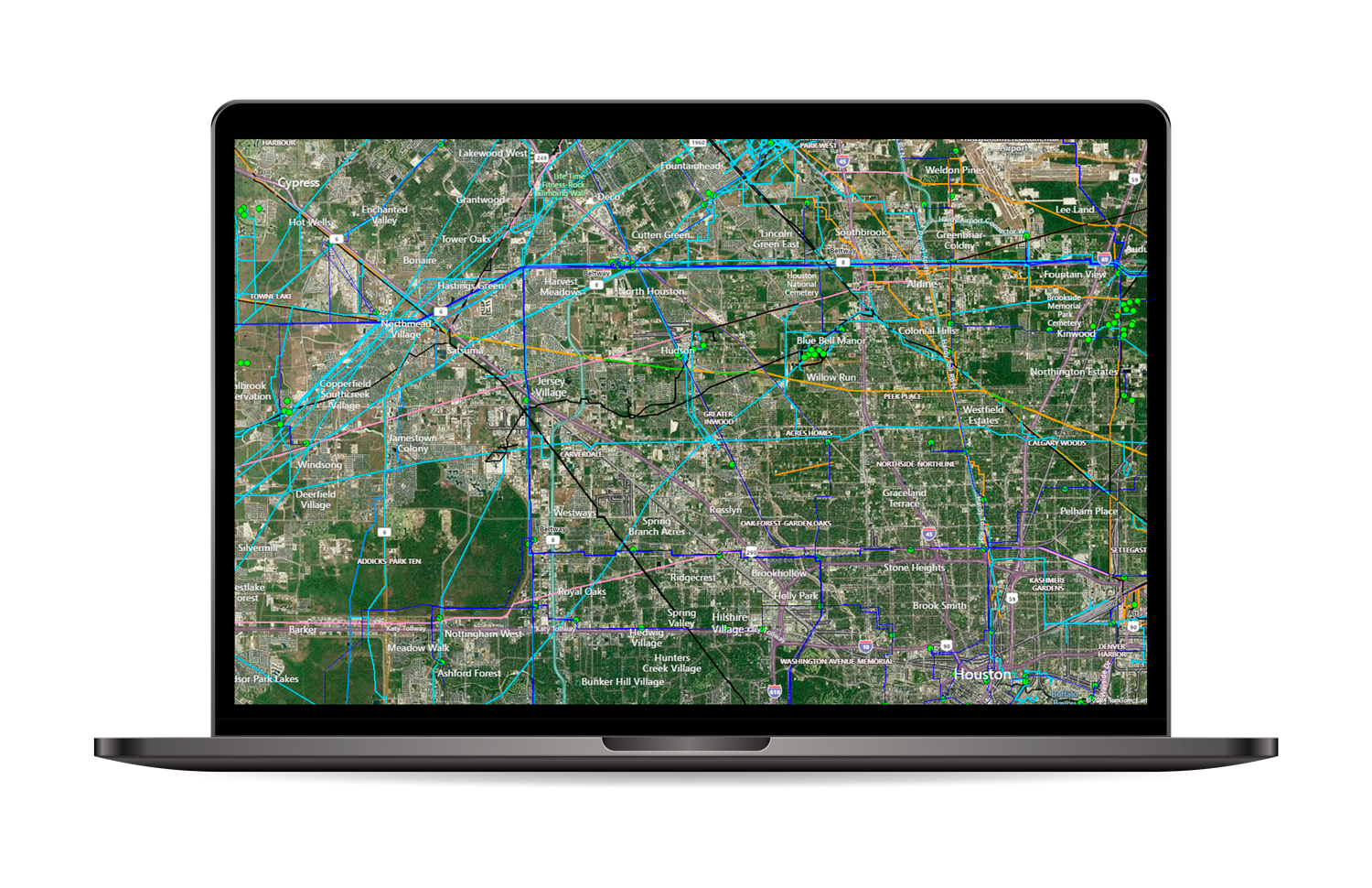
Locate the most cost-efficient route for your pipeline through powerful map-based visuals with complete property ownership information, transaction history, potential taxes, and zoning data.
Better Decision-Making, Better Results
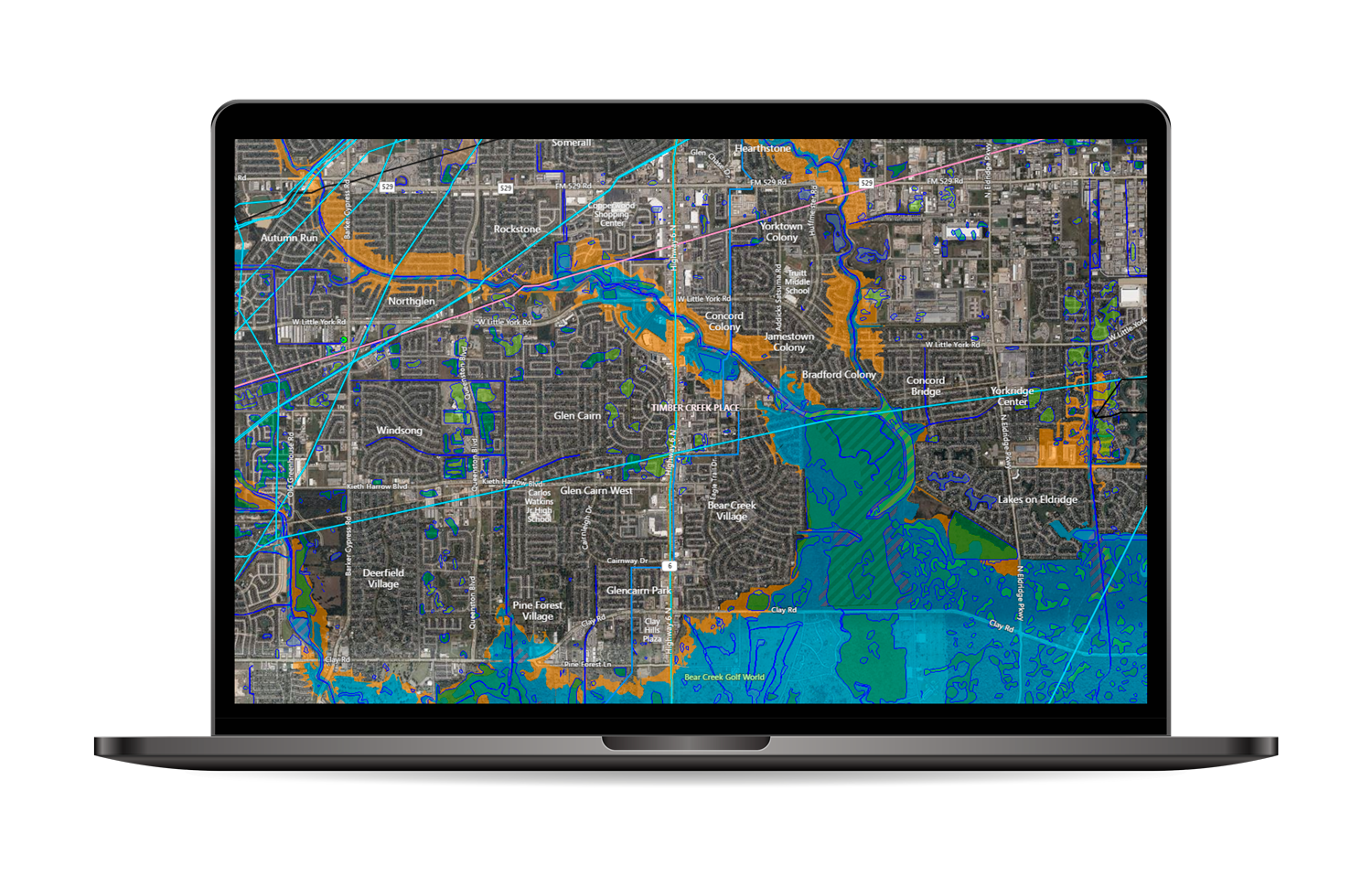
Utilize maps and detailed data layers to understand the level of effort, materials needed, construction cost estimates for service hook-ups and more.
In-Depth Location & Energy Insights
Gain vital situation awareness throughout the grid-connected network—from the powerplant all the way down to the thermostat.
Forecast Demand
Understand your market’s demographics and population density to more accurately forecast demand. Make informed decisions regarding current and future supply needs with the help of historical aerial imagery and household growth forecasts.
Easy-To-Access Unique Data
Identify uncommon property characteristics with advanced speed and efficiency. Plus, prove site & property location with ease to enterprise asset management systems.
Energy Solutions
SpatialStream®
Inside the GIS Department
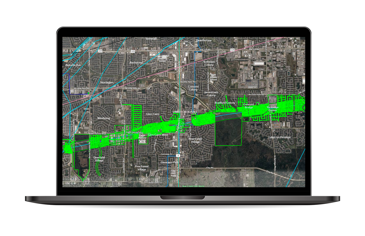
SpatialStream® enables energy companies to stream SmartParcels®, our normalized nationwide parcel and building footprint database into their ArcGIS platform in real-time.
LightBox Vision℠
Outside the GIS Department
LightBox Vision℠, our easy-to-use map-based application, integrates with ArcGIS, which means that you can access and work with the same data that your GIS team is working with.
Customers We’ve Empowered
We enable companies to enhance their existing solutions, to create new solutions for existing markets, and to solve previously intractable problems.
We develop partnerships with companies who innovate with our data and their expertise.
Connected Data
Parcel Boundaries
Nationwide parcel boundaries with 300+ property and tax attributes to help you make more confident decisions. Covers 3,100+ U.S. counties including territories, with over 150 million parcels with polygon geometry that is completely normalized.
Building Footprints
Building footprints are geospatial boundaries that provide the outline of a building drawn along the exterior walls.
Owner and Mailing Address
Property owner and owner related information that are derived from the latest property sales transaction.