Boundaries
As the definitive leader in location-based analytics, LightBox knows how to define and deliver boundary data with accuracy and clarity. Explore datasets that cover a range of topics including residential, commercial and societal boundaries.

Administrative Boundaries
Administrative boundaries are geospatial outlines of states, counties and cities in the United States.
Airport Boundaries
The Airports dataset delineates the geographic boundaries of public and private airport facilities. Individual airport boundaries include associated terminals, hangars, maintenance and outbuildings as well as, runways, tarmacs, helipads, parking areas, and satellite parking lots.
Building Footprints
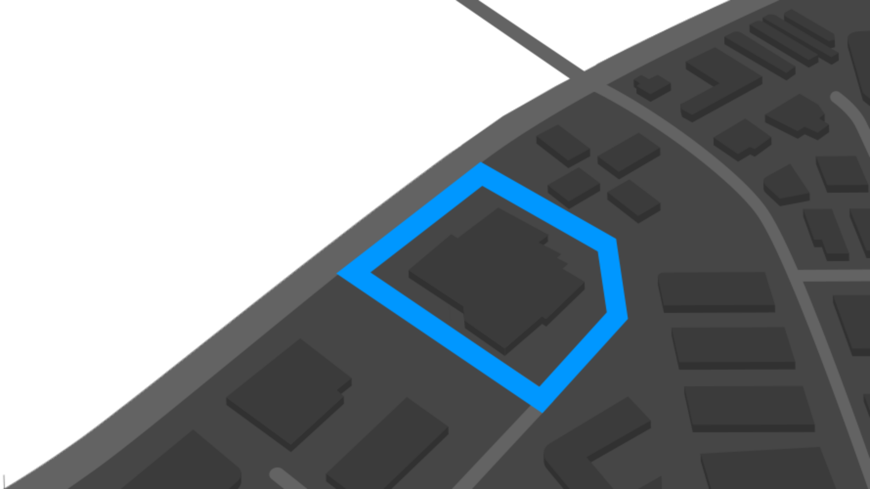
Building footprints are geospatial boundaries that provide the outline of a building drawn along the exterior walls.
College Boundaries
Colleges provides a series of polygonal boundaries around two-year and four-year colleges and universities in the United States with an enrollment greater than 200. The boundaries reflect both main and satellite campuses.
Golf Course Boundaries
Golf Courses delineates the physical extent of public and private golf courses across the United States. An individual golf course boundary will typically include greens, fairways, the clubhouse, parking, maintenance and outbuildings. Residential developments that are associated with the golf course may also be included.
Hospital Boundaries
Hospitals delineates the boundaries of general care hospitals with 24-hour emergency services and specialty hospital types (VA and cancer centers) located in the United States.
Neighborhood Boundaries
Neighborhood Boundaries give context to local geographies. This data set includes airport and golf course boundaries as well as demographic, crime and income statistics and point of interest locations.
Opportunity Zones
Opportunity Zones are geospatial boundaries. They outline the distressed areas in the United States that are subject to qualified investment rules as defined by the U.S. Government.
Parcel Boundaries
Nationwide parcel boundaries with 300+ property and tax attributes to help you make more confident decisions. Covers 3,100+ U.S. counties including territories, with over 150 million parcels with polygon geometry that is completely normalized.
Postal Code Boundaries
Postal Code Boundaries provide spatial demarcations of U.S. and Canada Postal codes. This dataset also includes the centroid location for each ZIP code and over 60 million deliverable USPS ZIP +4 addresses.
Recommended Insights
The LightBox Signal: Our Weekly Analysis of the Top Headlines
LightBox Major Transaction Tracker Report: Inside November’s CRE Deal Dynamics
Have Questions? Want A Demo? Let’s Chat.
Fill out the form below and a member of our Customer Success Team will contact you shortly.
