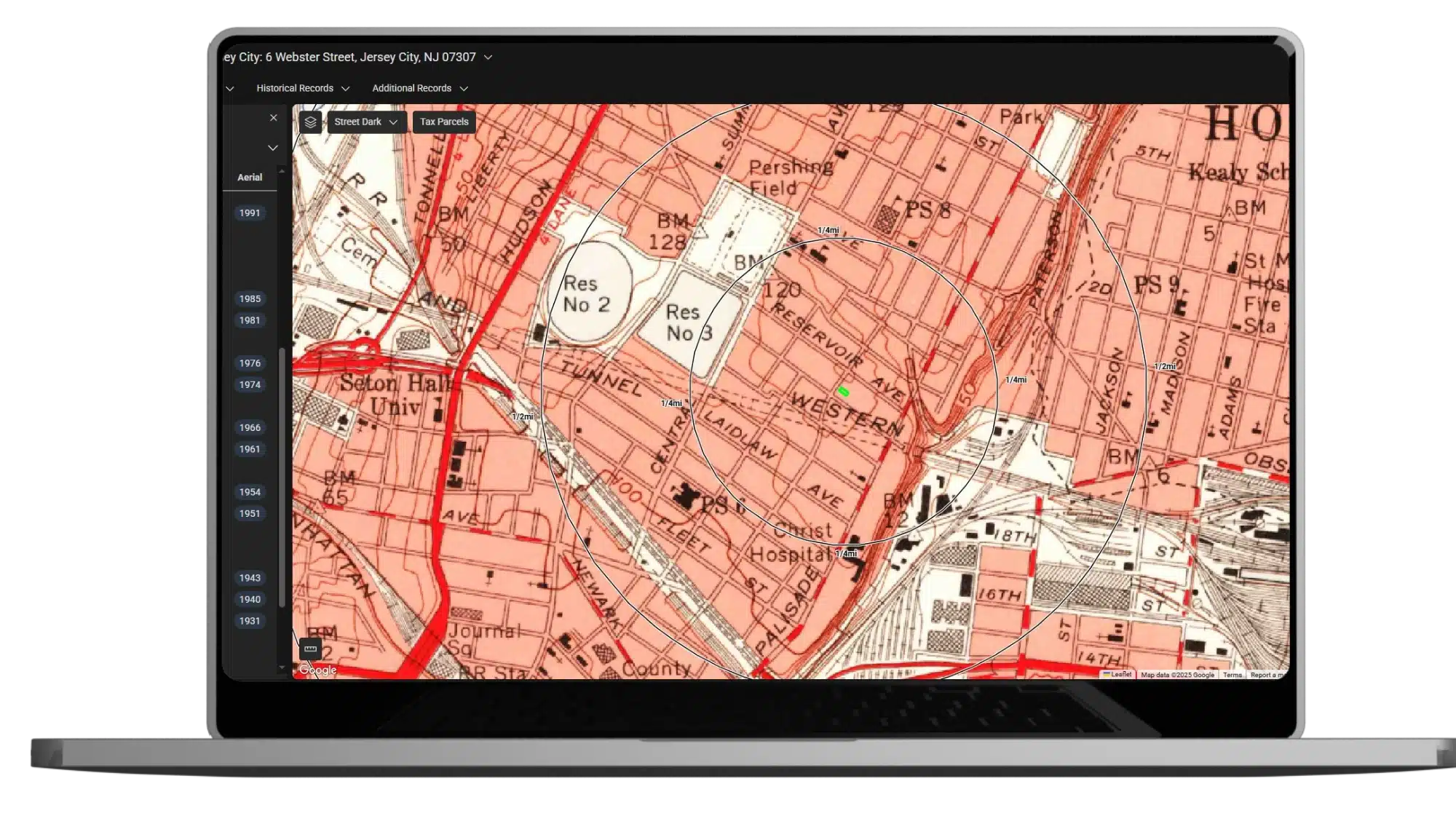
EDR® Historical Topographic Maps

Advanced mapping solutions for faster, easier evaluation

Historical topographic maps with QUADMATCH® aid environmental professionals in reviewing potential liability resulting from past activities. QUADMATCH intelligently presents USGS historical topographic quad maps dating back to the early 1900s.

Request A Demo Order Now
Product EDR® Historical Topographic Maps

Key benefits

Center your target property

Align adjoining georeferenced maps to easily review the right information every time.

Track changes over time

Enjoy the benefits of unified map scales and quickly compare current views against historical perspectives

Identify potential concerns

Reference 6,500 proprietary maps for detailed environmental issues.

QUADMATCH®

QUADMATCH intelligently presents USGS historical topographic quad maps dating back to the early 1900s.


LightBox EDR’s historic topographic map collection

  • Dates back to the early 1900s
  • Your target property is centered and adjoining georeferenced maps are aligned, so you can easily
  • review the right information every time.
  • Maps scales are unified, so you can effortlessly follow changes over time.
  • Enables your detailed review of map features with high resolution imagery.
  • Most reports delivered as one PDF
  • Identify potential environmental concerns
  • 6,500 proprietary maps

Connected Data

Boundaries
Building Footprints

Building footprints are geospatial boundaries that provide the outline of a building drawn along the exterior walls. 

Environmental
Flood Risks

Data includes, but is not limited to, 100-year and 500-year flood zones. Canadian Flood maps provide flood extents and depths for multiple return periods, covering river, surface and coastal flooding. 

Environmental
Historical Imagery and Content 

Collection of historical content including SANBORN® Maps, Historical Aerial Photography, Historical City Directories, Historical Topographic Maps, Environmental Liens and AULs, and Historical Title. 

Environmental
Known Incidents

Incidents identified by regulatory agencies indicating known or suspected environmental releases, contamination, or spills associated with hazardous materials, petroleum, or other products.  

Environmental
Permitted Facilities

Facilities registered with regulatory agencies for operations such as hazardous waste management, landfills, underground and above ground storage tanks, and other activities associated with potential environmental concern.   

Environmental
Other Environmental Content

Content valuable for evaluating environmental issues, including historical gas station and dry cleaners, PFAS, water wells, oil and gas wells, radon, wetlands, topography, endangered species, registered historic sites, and more.