Locate
The most comprehensive set of property characteristics, tax parcels & building footprints, and spatial & environmental data.
Ready to seize the power of hyper-accurate location intelligence data? Our smart location tools help you pinpoint locations like never before and drive greater efficiency.
Request Demo
Three simple words that empower decision makers by delivering the most authoritative data, integrated workflows & unmatched industry connections.

The most comprehensive set of property characteristics, tax parcels & building footprints, and spatial & environmental data.

A deeper understanding of all facets of the data along with location intelligence & a simplified workflow to help you move forward.

Know that you have the most comprehensive data set & most detailed analytics so you can act on decisions with the highest degree of confidence.
Canada’s first nationwide parcel database.
Learn MoreComprehensive mapping software, analysis and management for industries including real estate and government sectors.
Learn MoreDid you know 60 million Americans are currently unconnected to Broadband? Close the digital divide with data solutions which help you analyze broadband availability in your state. LightBox is the first and only firm that has delivered a comprehensive, highly accurate location map on a state level and our solutions are built for broadband workflows.
LEARN MORE >
Address information for single family home, multi-unit dwellings or large office buildings with multiple secondary units and address information from multiple streets.
Property owner and owner related information that are derived from the latest property sales transaction.
Nationwide parcel boundaries with 300+ property and tax attributes to help you make more confident decisions. Covers 3,100+ U.S. counties including territories, with over 150 million parcels with polygon geometry that is completely normalized.
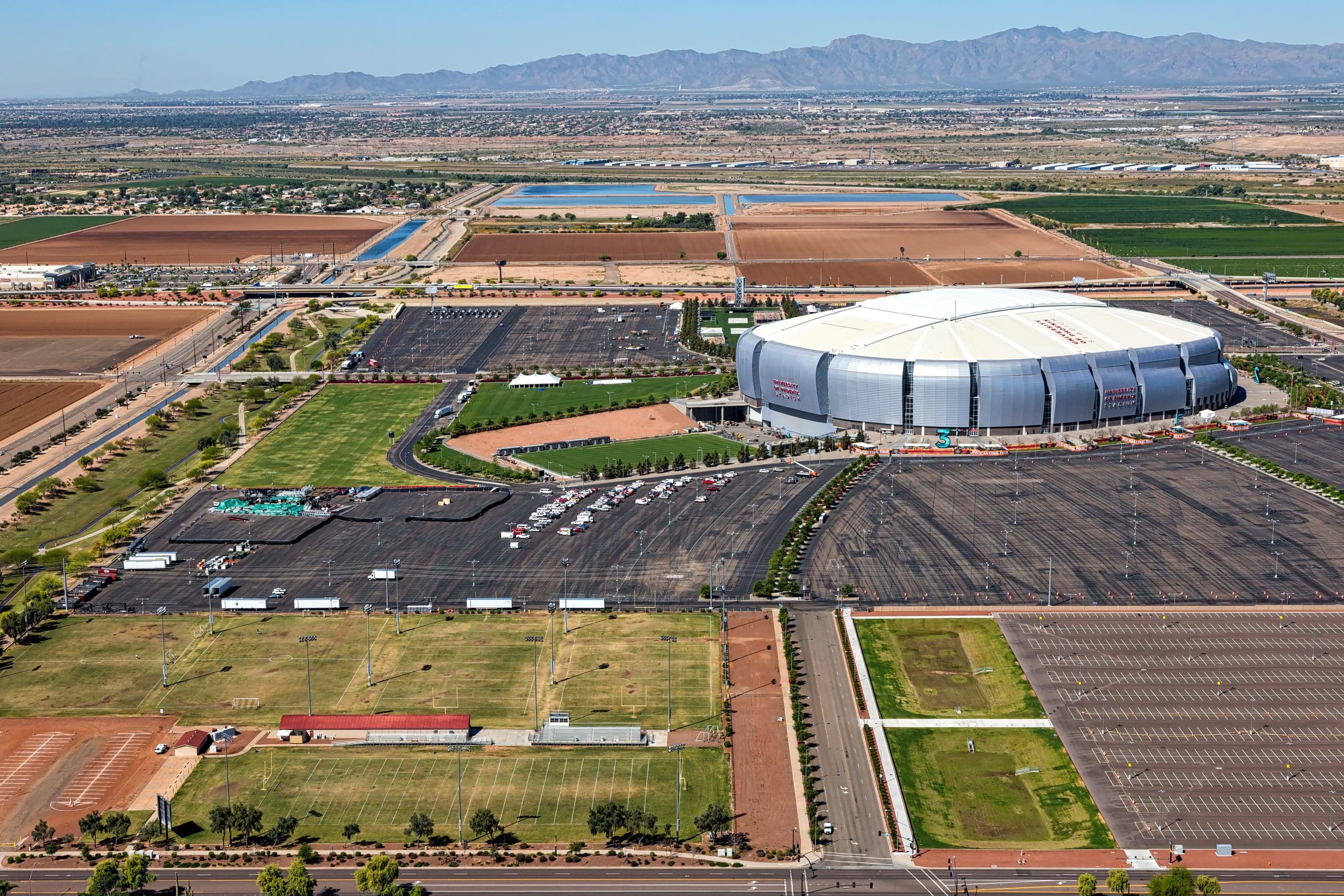
Building footprints are geospatial boundaries that provide the outline of a building drawn along the exterior walls.
Official record of property characteristics that is from property tax assessment.
Neighborhood Boundaries give context to local geographies. This data set includes airport and golf course boundaries as well as demographic, crime and income statistics and point of interest locations.


